Hitting The Road Tomorrow (Monday)!
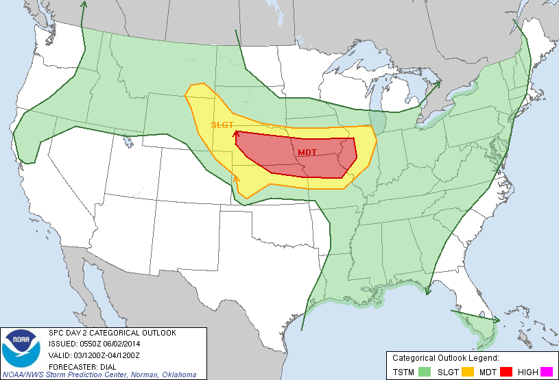
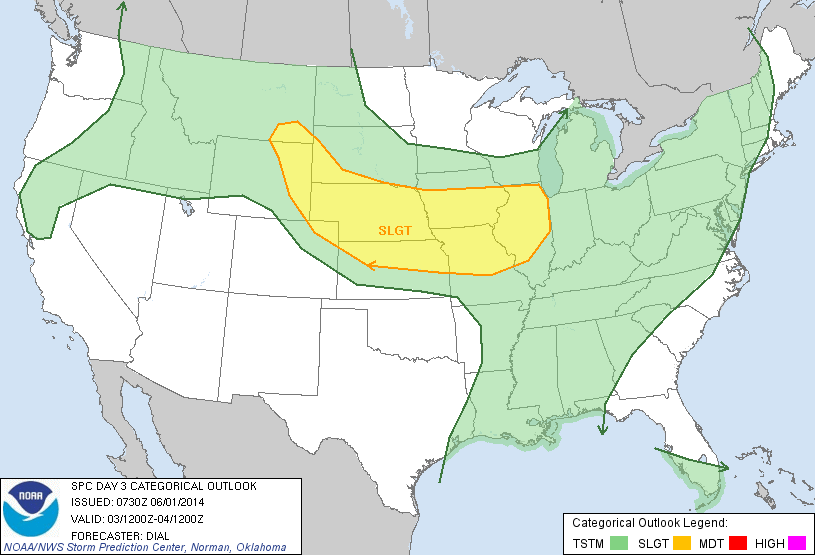
I have decided that I am hitting the road for Nebraska tomorrow, leaving at noon at the latest. To confirm I made a good choice, the Storm Prediction Center has upgraded Tuesday to a Moderate Risk. Wish me luck!
Update on Tueday
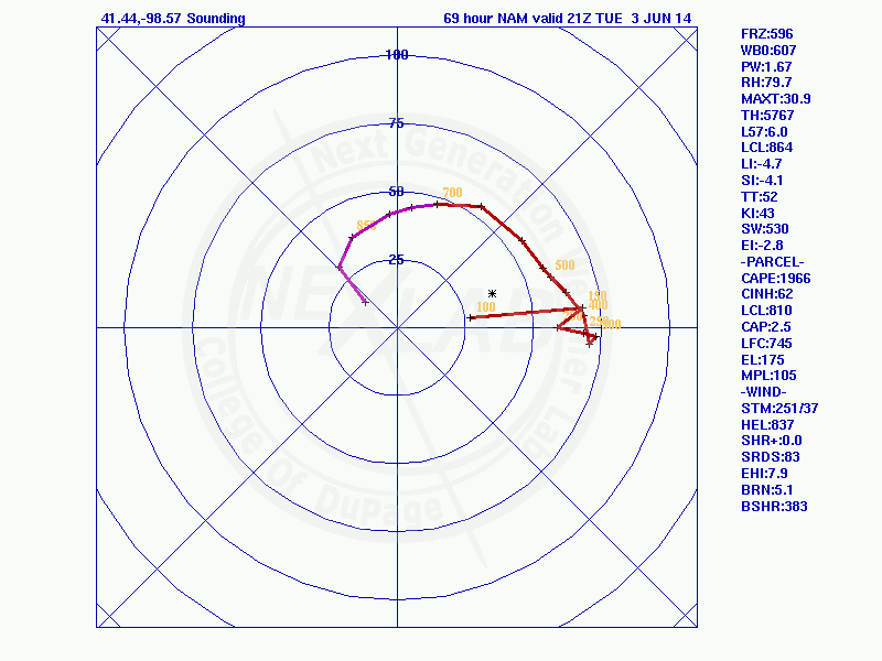
Thermodynamically, Tuesday still looks very good. What is giving me pause about Tuesday is storm mode. The GFS and NAM are in agreement about a more derecho-like event taking place. The question is will there be any supercells before that takes place. The GFS says yes, the NAM says no. I’d really hate to drive…
Storm Chase on Tuesday
Tuesday is looking like possibly the best storm chase day of the year, based on terrain and atmospheric conditions. As such, I will be in the field chasing. At the moment, I’m setting my initial target area as Kearney, Nebraska. Of course, that may change in the coming days as the forecast models get a…
Fun With Time Lapse
Had several rounds of thunderstorms pass through today. Here’s some time lapses I made. This was my first time doing a time lapse, so I’m still figuring out the best time interval.
Tornado Outbreak on Mother’s Day
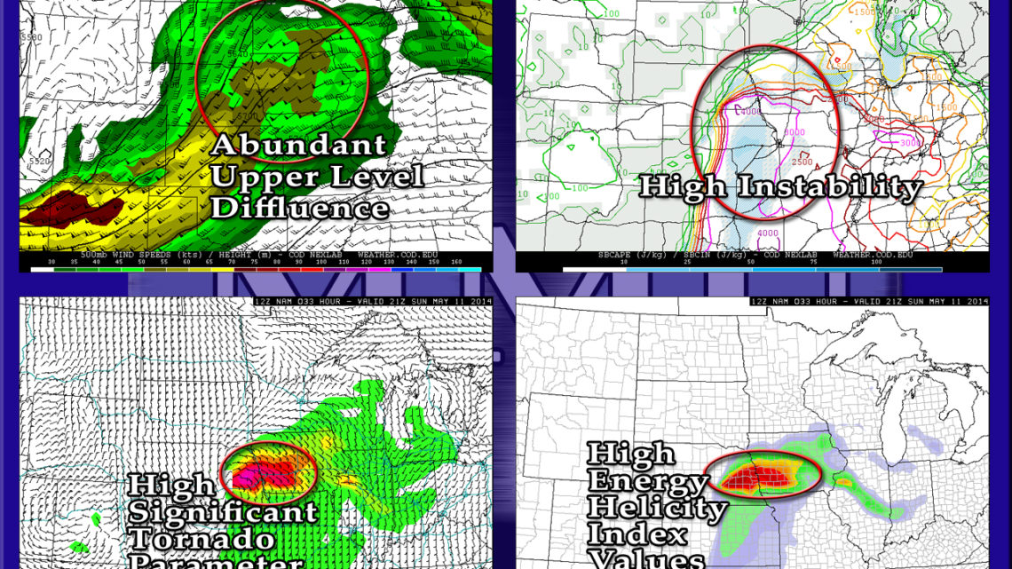
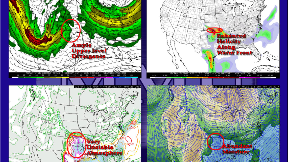
The Storm Prediction Center has already given tomorrow a Moderate Risk, I wouldn’t be surprised at an upgrade to High Risk later tonight. Eastern Nebraska, western Iowa, northwestern Missouri, and Kansas are all under the gun. With CAPE values nearing and possibly exceeding 4,000 j/kg, and pretty extreme helicity values near the warm front, multiple…
First High Risk Days/Multi-day Outbreak of 2014
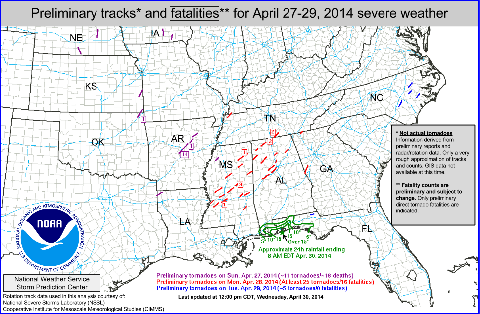
We just had out first multi-day tornado outbreak of the year. 32 people were killed during the three-day severe weather event. Tornadoes of note include the Mayflower-Vilonia, Arkansas tornado on Sunday evening, which has the preliminary rating of EF-3 and it killed 14 people, and the Louisville, Mississippi EF-4, which killed 9 people. As for…
Possible Storm Chase on Saturday
Saturday is great for some severe weather in southern Kansas and Oklahoma. If it keeps looking like it looks right now, I’m going to do my best to go storm chasing. It’ll kind of depend on whether or not I can get off of work on Friday. Otherwise, I may have to pull an all…
…Annnnnd we’re back to winter…
After a weekend in the 70s, it is now in the upper 30s/low 40s and snowing. *Hopefully*, this will be our last snowfall until like November. The GFS does show us getting one more snow event, but it’s at 300 hours out, so I’m not putting too much stock into that forecast. For the rest…
Possible Storm Chase on Saturday
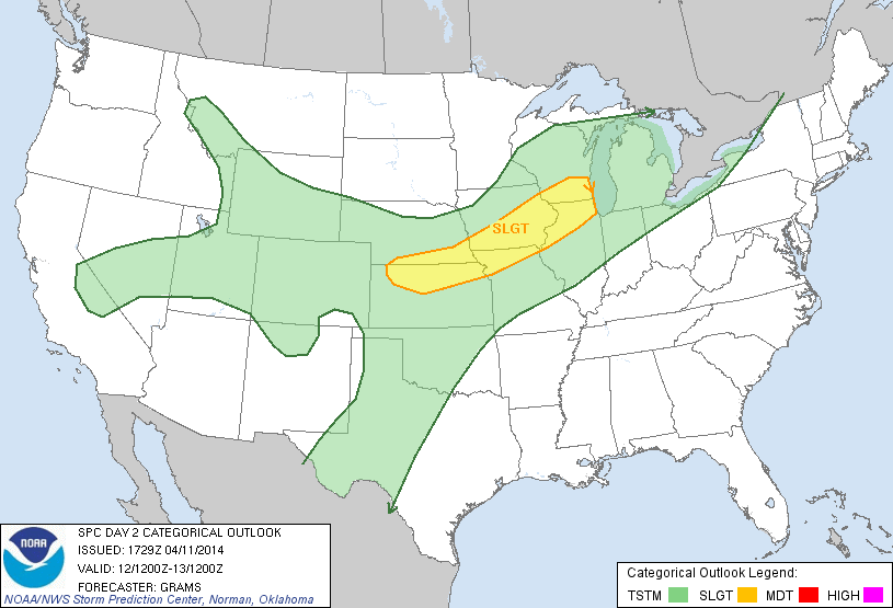
This one snuck up on me a little bit. But The Storm Prediction Center has given northern Illinois and parts of eastern and southern Iowa a Slight Risk for tomorrow. I’m in the process of doing an analysis of the event. But one thing I can say right away is it will be an unusual…
