Storm Chase of 20 May, 2014
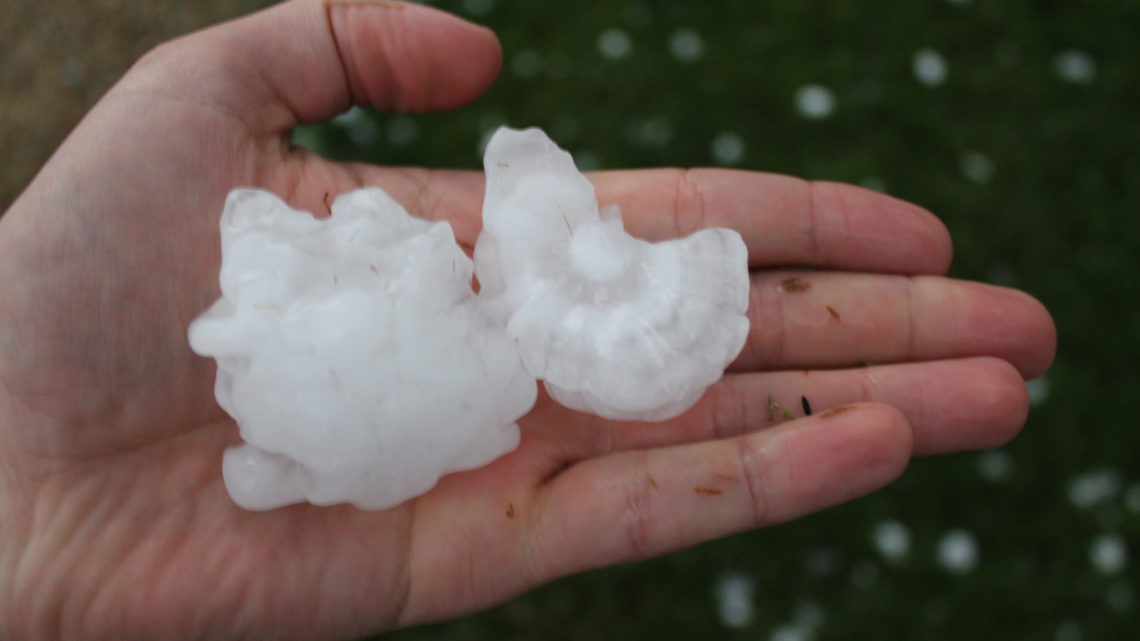
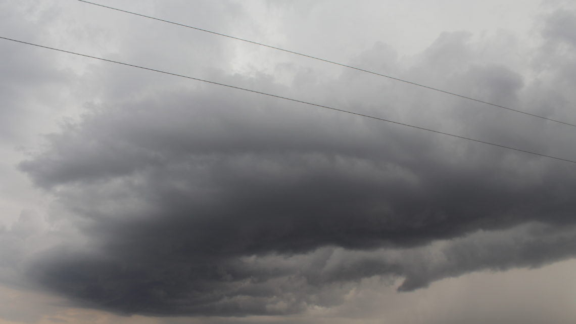
This chase was a kind of a spur of the moment thing. Earlier in the day, the SPC had 5% tornado probability right overhead. That eventually got downgraded to 2%. But during the late afternoon/early evening there were some strong storms moving into northern Illinois. One storm in particular, heading towards Dekalb, was looking supercellular;…
Fun With Time Lapse
Had several rounds of thunderstorms pass through today. Here’s some time lapses I made. This was my first time doing a time lapse, so I’m still figuring out the best time interval.
Tornado Outbreak on Mother’s Day
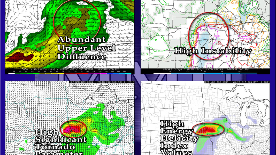
The Storm Prediction Center has already given tomorrow a Moderate Risk, I wouldn’t be surprised at an upgrade to High Risk later tonight. Eastern Nebraska, western Iowa, northwestern Missouri, and Kansas are all under the gun. With CAPE values nearing and possibly exceeding 4,000 j/kg, and pretty extreme helicity values near the warm front, multiple…
Storm Chase of 8 May, 2014
Originally I wasn’t planning on chasing this day. It didn’t look like a good enough shot at seeing anything to warrant my driving all the way to Iowa or Minnesota. But, the Storm Prediction Center upgrading the day to Moderate Risk did help sway my opinion a little bit, so I ended up going. I…


